0VERLOAD3D · WORLD PLATFORM
0verload3d is the world: a decentralized spatial web on a coordinate-addressed sharding substrate, where a physical pose is written straight into the storage key. There is no index that maps location to record. The location is the route.
Not a metaverse. A protocol with the web's own topology, in 3D: zones hosted by whoever hosts them, linked by portals, scaling the way the web scaled because it is the same shape.
A shardid is a 32-character base-36 integer that encodes a 6-DOF pose and an identity, address-leading. Spherical-native: the GPS coordinate is the key, no projection, no distortion to correct. Six digits an axis is roughly centimetre cells; seven is sub-millimetre. The r field is the radius from Earth's centre, so underground, surface and orbit are the same volume.
Fixed width, so lexicographic order is numeric order. That one property carries the rest.
rail: routing keys are never hashed. A change that hashes them is rejected on sight.
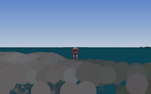
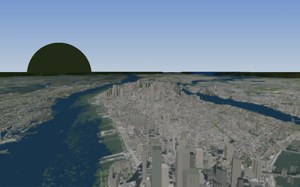
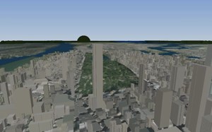
Every surface on the sheet is point data placed on a real sphere by our capture pipeline and drawn by our own single-threaded CPU renderer, one frame at a time. No Unreal, no Unity, no Google Earth geometry. The bridge and the pilot are third-party models, sampled to the same points as everything else.
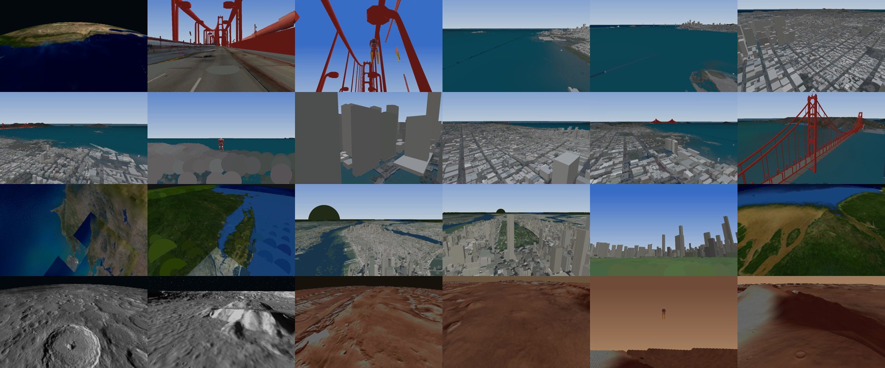
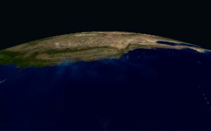
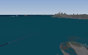
Public aerial imagery lifted by public elevation, cell by cell, into surfels on the sphere. Water is found in the near-infrared band and painted to match the albedo.
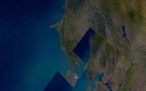
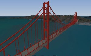
The bridge deck is street-level panoramas unprojected onto the same coordinates, so you can drive onto it from orbit without a loading screen.
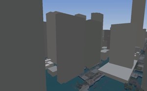
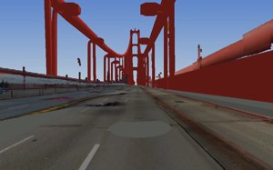
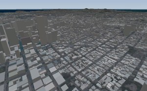
Building footprints extruded into the San Francisco and New York skylines, placed by their real coordinates.
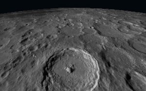
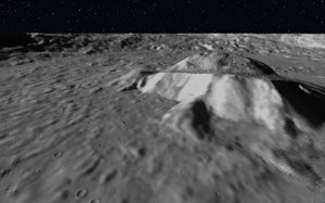
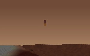
Same pipeline, different sphere. The radius field makes a second body just another range of keys.
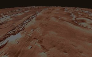
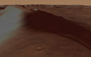
Valles and craters from the orbital mosaics, walked at ground level by the same pilot.
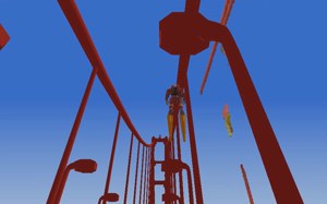
"Golden Gate Bridge" by parimal via Free3D. "Mecha Robot" by Trident.AI via Sketchfab. Not our models; see the credits.
Orbit, drop, deck, lift-off, the bay, two cities, the Moon, Mars. One continuous path through one address space.
The shipped dev tool: persistent memory for coding agents and automatic version control where every save is a version. Free download for Windows.
The world platform on this page: capture, the spatial web, the awareness layer. In dry dock, testable, rendering.
The distributed store under both. Sellable on its own to anyone with ordered or spatial keys, AR or not.
Also from the same house: 0grep, 0verload's grep.